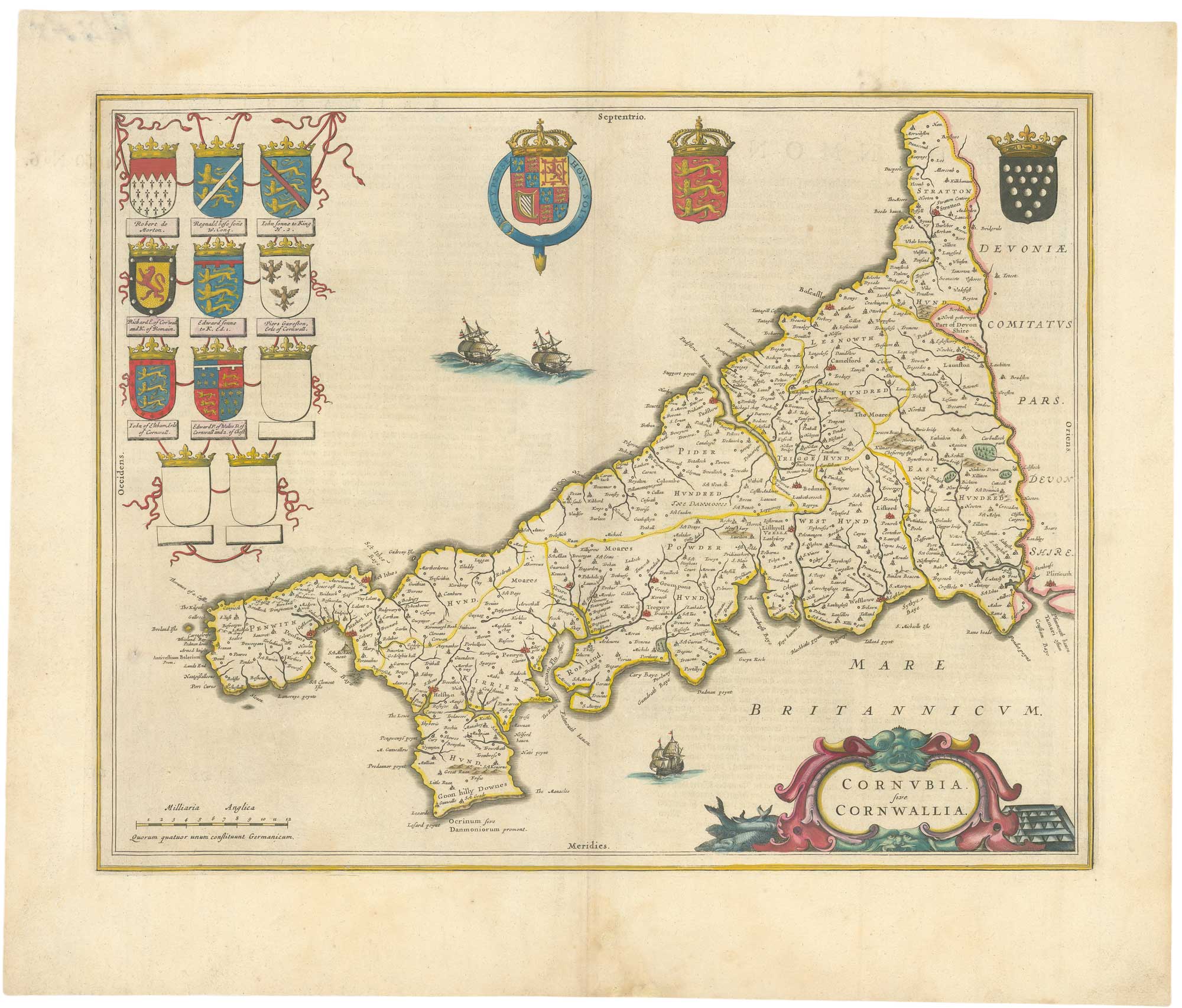


A 17th century map of Cornwall from the Duke of York’s Library
Cornubia. sive Cornwallia.
Amsterdam, 1648, German text edition. Original colour.. 380 x 500mm.
£500.00
1 in stock
x
Question About This Item?
A 17th century map of Cornwall from the Duke of York’s Library & BLAEU, Johannes.Stock #: 26623"*" indicates required fields
Similar to Sell?
Add to Wishlist
Add to Wishlist
Description
A fine map of Cornwall from Blaeu's Atlas Novus', decorated with a title cartouche featuring fish and tin, armorials and three vignette ships.
Pasted on the reverse is the bookplate of the Duke of York, bearing the motto of the Chivalric English Order of the Garter, 'Honi Soit Qui Mal Y Pense' and the initials D.Y., with 'Vol. 51, Nº 6.' added underneath. The map was apparently bound into a large composite atlas, as noted by the volume number, probably by Prince Edward, Duke of York and Albany (1739-67, younger brother of George III), from maps already in his family's collection.
Condition:
A little staining at bottom centre fold, library label pasted on the top right of verso.References:
VAN DER KROGHT: 2:331.Related products
Items by the same author
Add to Wishlist
Add to Wishlist
Add to Wishlist
Add to Wishlist

Add to Wishlist
Add to Wishlist
Add to Wishlist
Add to Wishlist
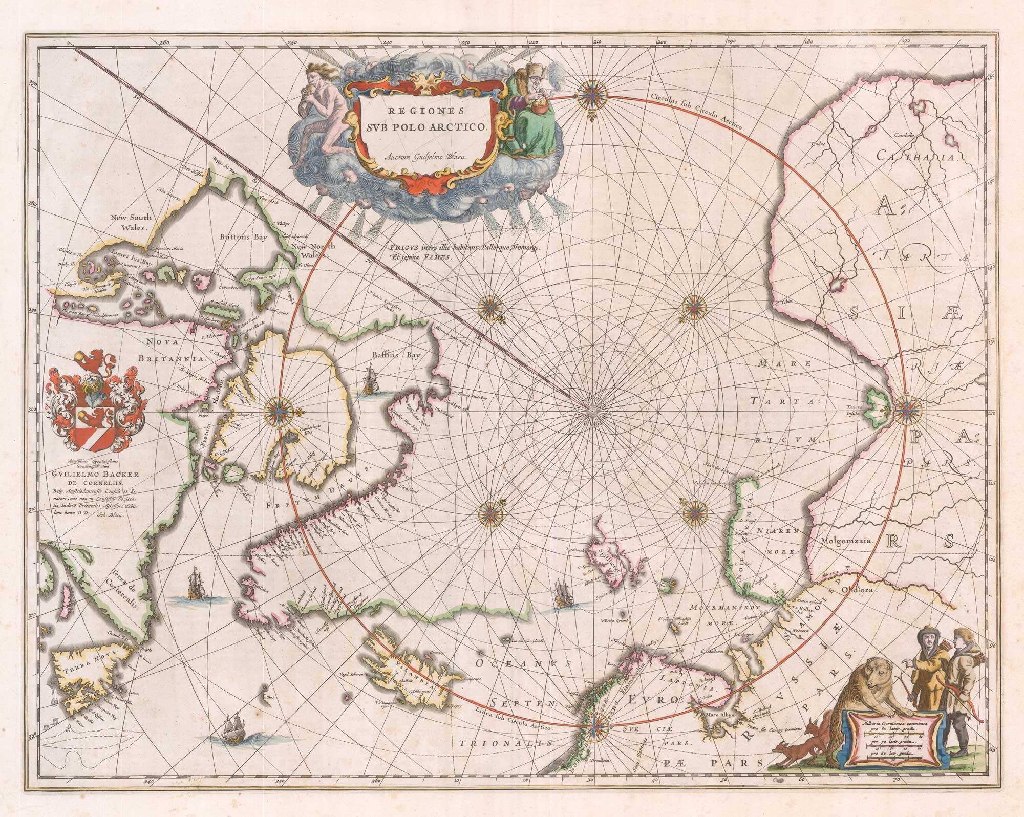
A 17th century map of the early exploration of the Arctic Circle
BLAEU, Johannes. Date: 1649 Stock #: 26364 £1,250.00
Add to Wishlist
Add to Wishlist
Add to Wishlist
Add to Wishlist