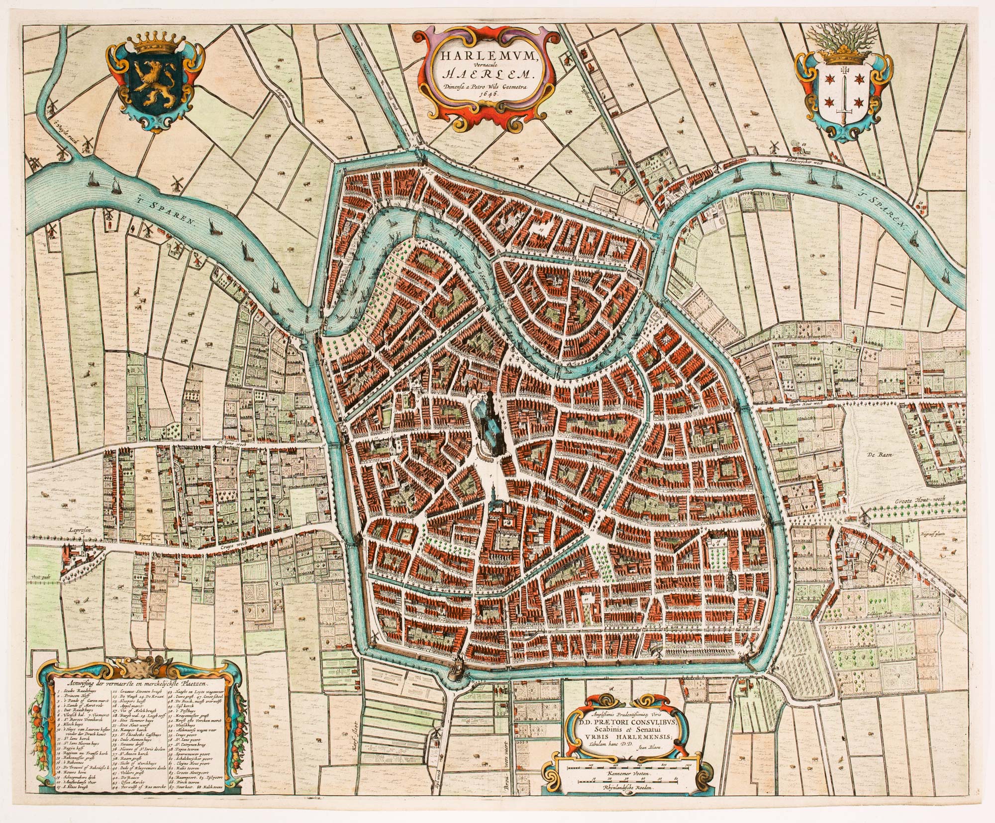
Antique Maps by BLAEU, Johannes.
Johannes Blaeu (1596–1673) was a Dutch cartographer, publisher and instrument maker who, as head of the Amsterdam firm founded by his father Willem Janszoon Blaeu, helped bring Dutch atlas-making to its seventeenth-century peak. He matters for the scale, refinement and editorial ambition of his productions, which set a benchmark for European cartographic publishing.
Blaeu’s name is most closely associated with the Atlas Maior, issued in multiple languages and expanded over successive editions into one of the largest and most sumptuous atlases of the period. Under his direction the Blaeu press combined careful compilation with high-quality engraving and printing, producing maps notable for clarity, decorative restraint and consistent presentation across wide geographical coverage.
He also issued important sea atlases and globe work through the Blaeu workshop, maintaining the firm’s close connection to navigation, trade and overseas expansion. After Willem Blaeu’s death in 1638, Johannes (with his brother Cornelis) continued to enlarge and update the catalogue, ensuring the Blaeu imprint remained synonymous with the most prestigious cartography of the Dutch Golden Age.
→ Explore more works by Johannes Blaeu
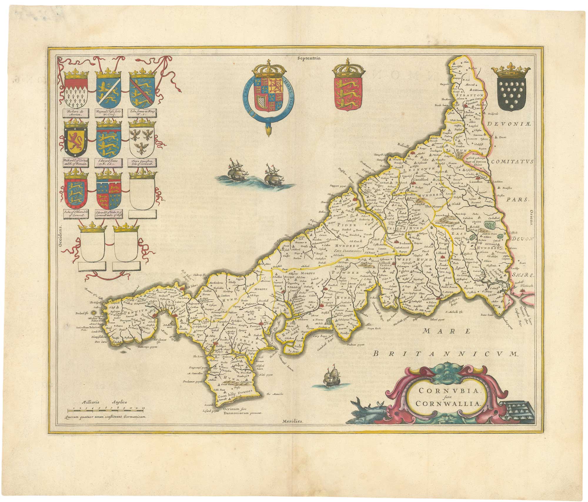
A 17th century map of Cornwall from the Duke of York's Library
BLAEU, Johannes. Date: 1648 Stock #: 26623 £500.00

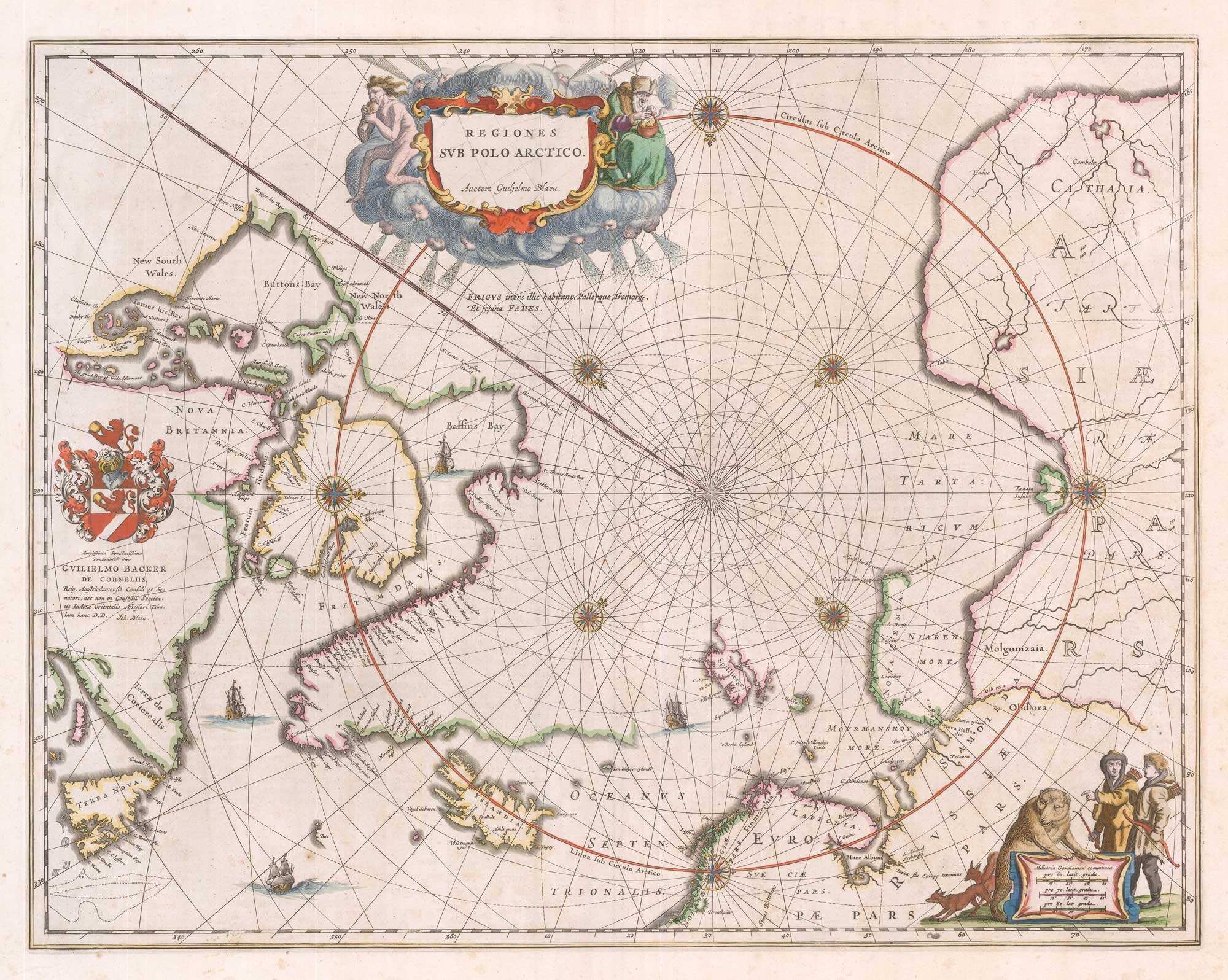
A 17th century map of the early exploration of the Arctic Circle
BLAEU, Johannes. Date: 1649 Stock #: 26364 £1,250.00
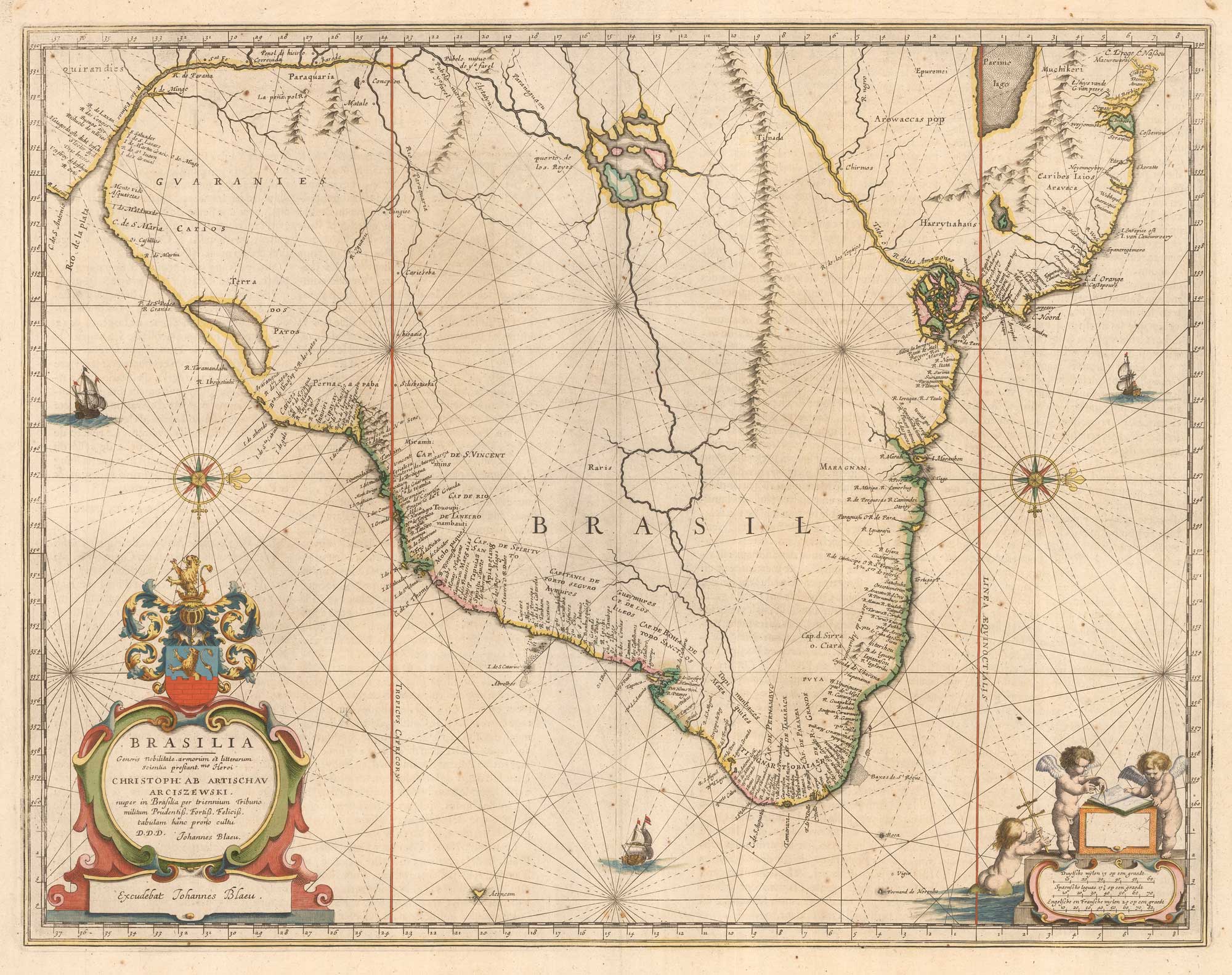
A fine example of the second Blaeu atlas map of Brazil
BLAEU, Johannes. Date: 1662 Stock #: 26108 £800.00
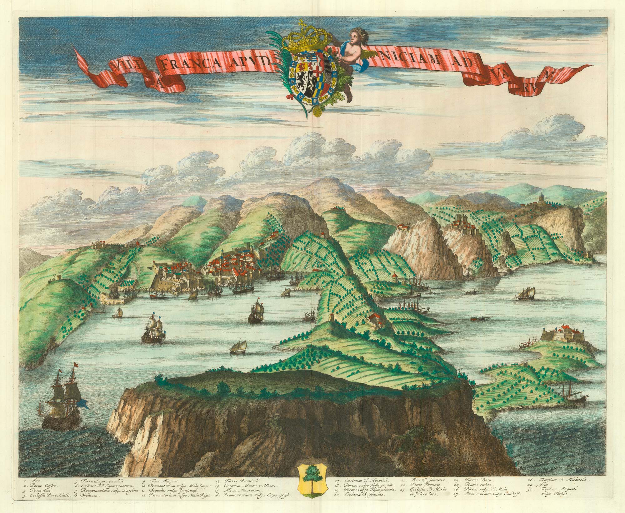
A scarce 17th century prospect of Villefranche-sur-Mer
BLAEU, Johannes. Date: 1682 Stock #: 24159 £1,500.00
A scarce 17th century prospect of Evian-les-Bains in superb colour
BLAEU, Johannes. Date: 1682 Stock #: 23265 £1,250.00
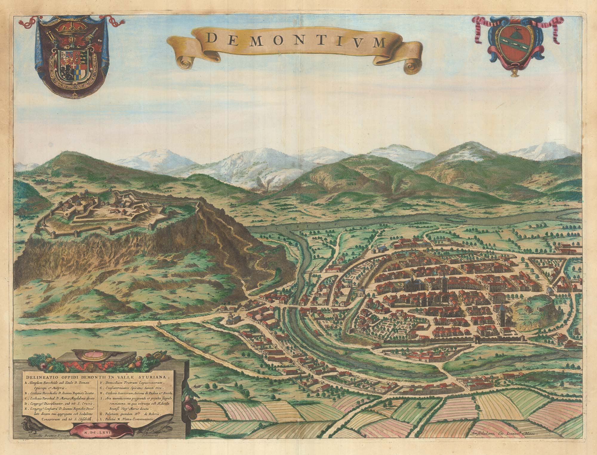
A scarce 17th century prospect of Demonte in superb colour
BLAEU, Johannes. Date: 1682 Stock #: 23267 £500.00
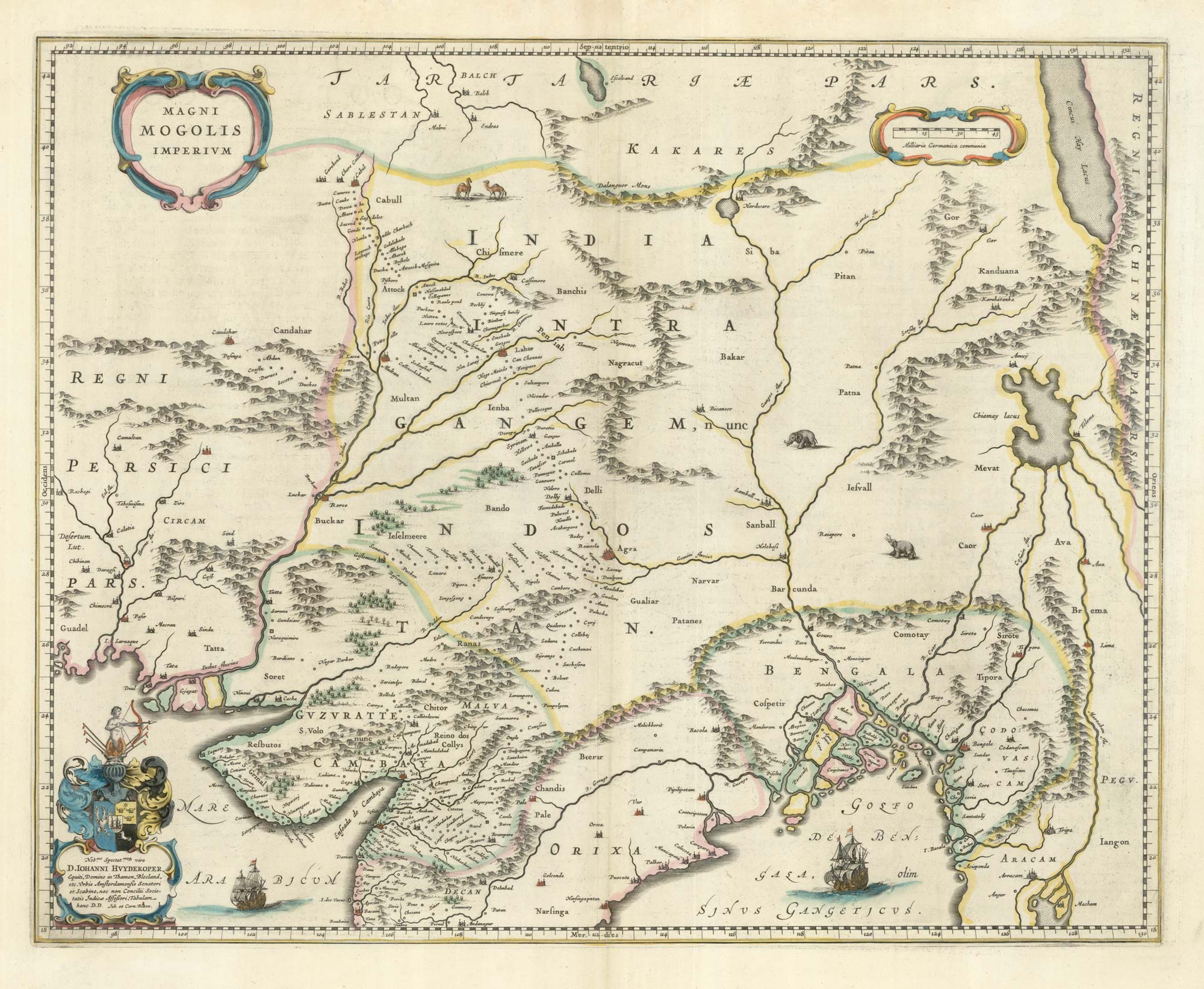
17th century map of the Mogol Empire in northern India
BLAEU, Johannes. Date: 1640 Stock #: 24911 £750.00
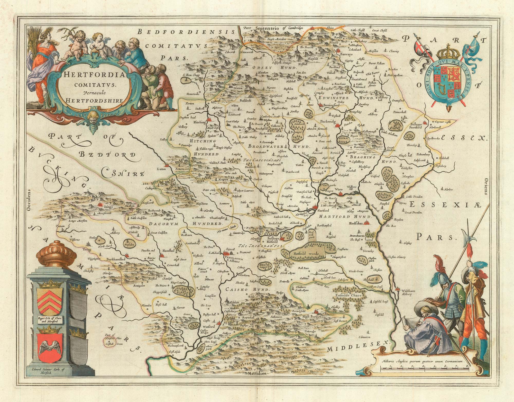
The uncommon Spanish edition of Blaeu's map of Hertfordshire
BLAEU, Johannes. Date: 1662 Stock #: 24521 £450.00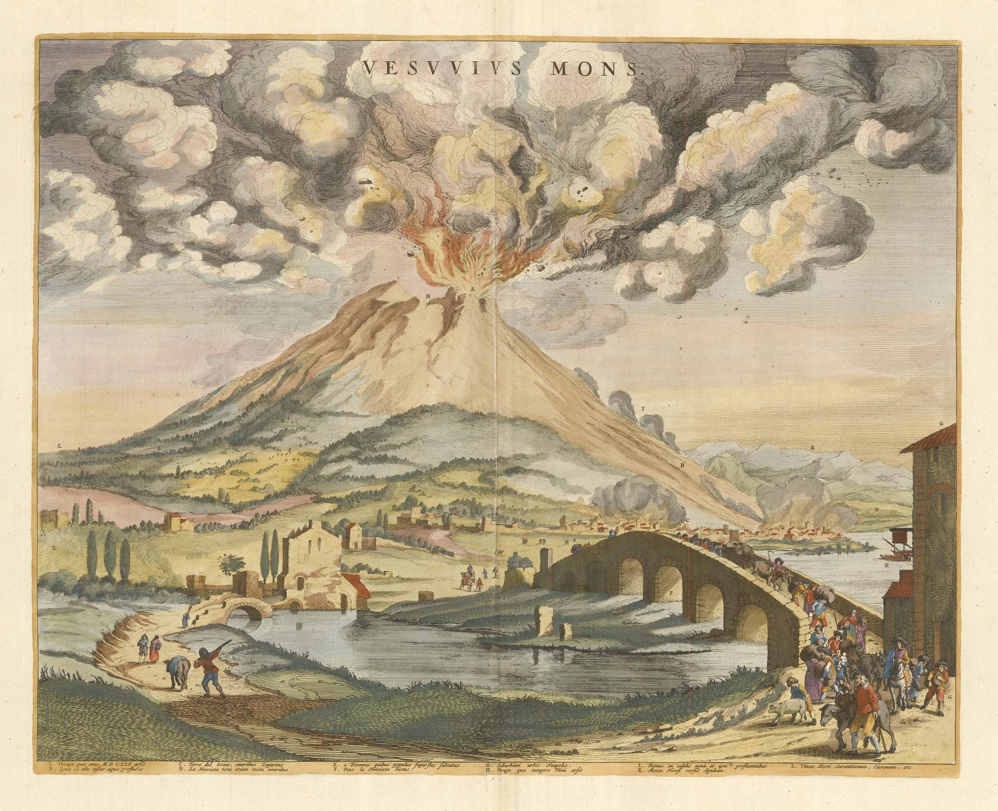
A rare lifetime printing of Blaeu's view of Vesuvius erupting in 1631
BLAEU, Johannes. Date: 1663 Stock #: 24506 £1,400.00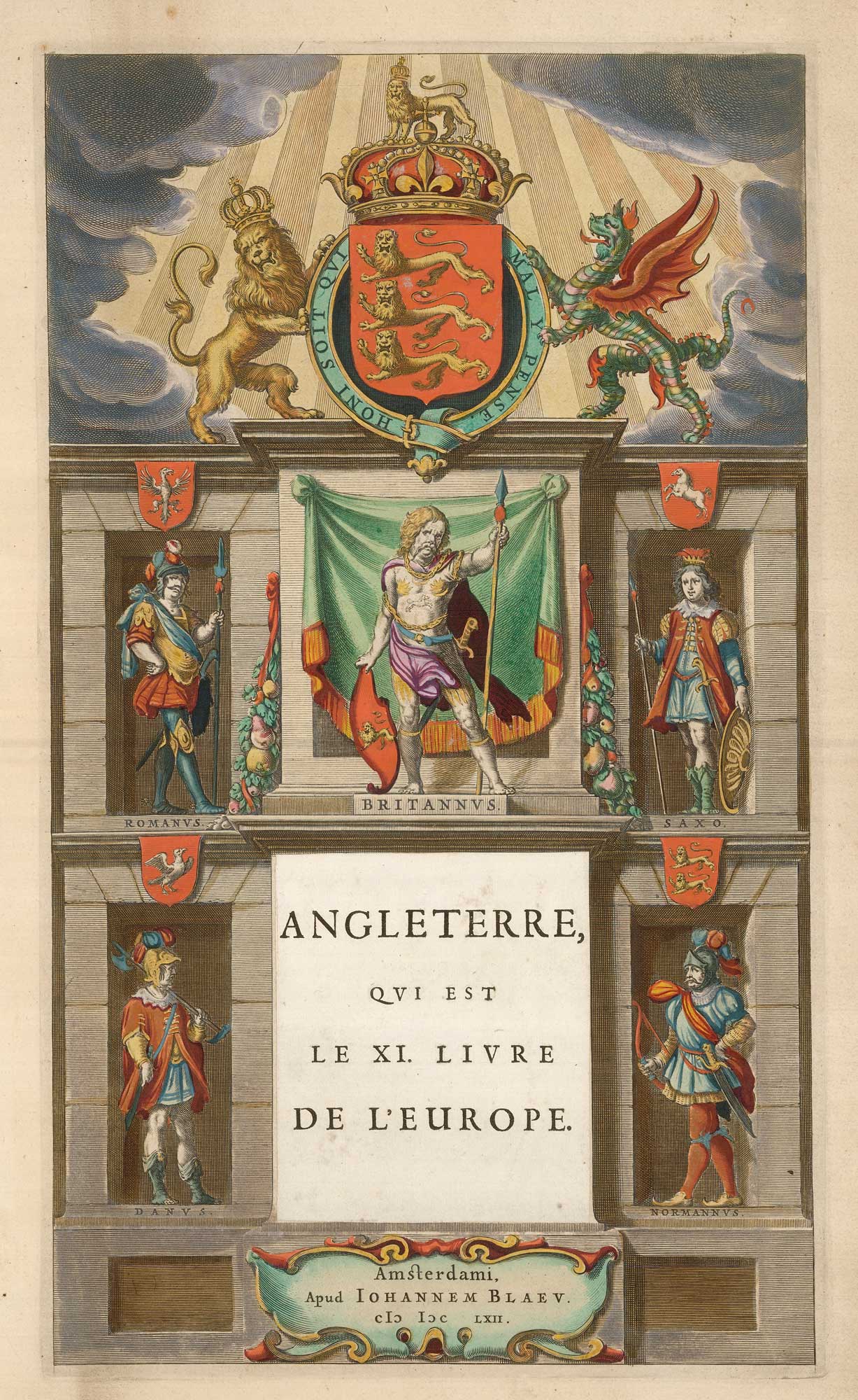
The titlepage of the England volume of 'Le Grand Atlas'
BLAEU, Johannes. Date: 1662 Stock #: 24082 £300.00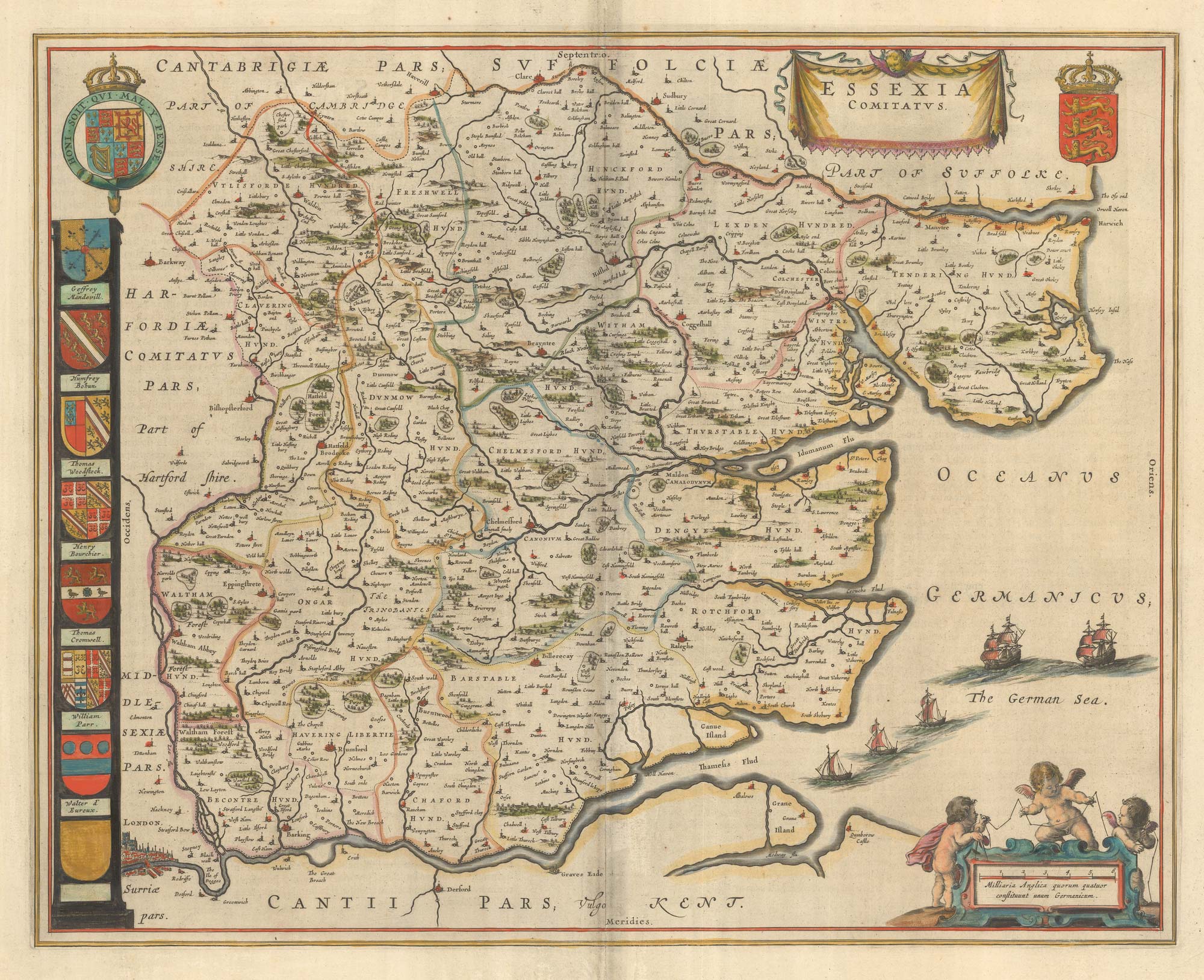
A map of Essex published during the English Civil War
BLAEU, Johannes. Date: 1646 Stock #: 23924 £650.00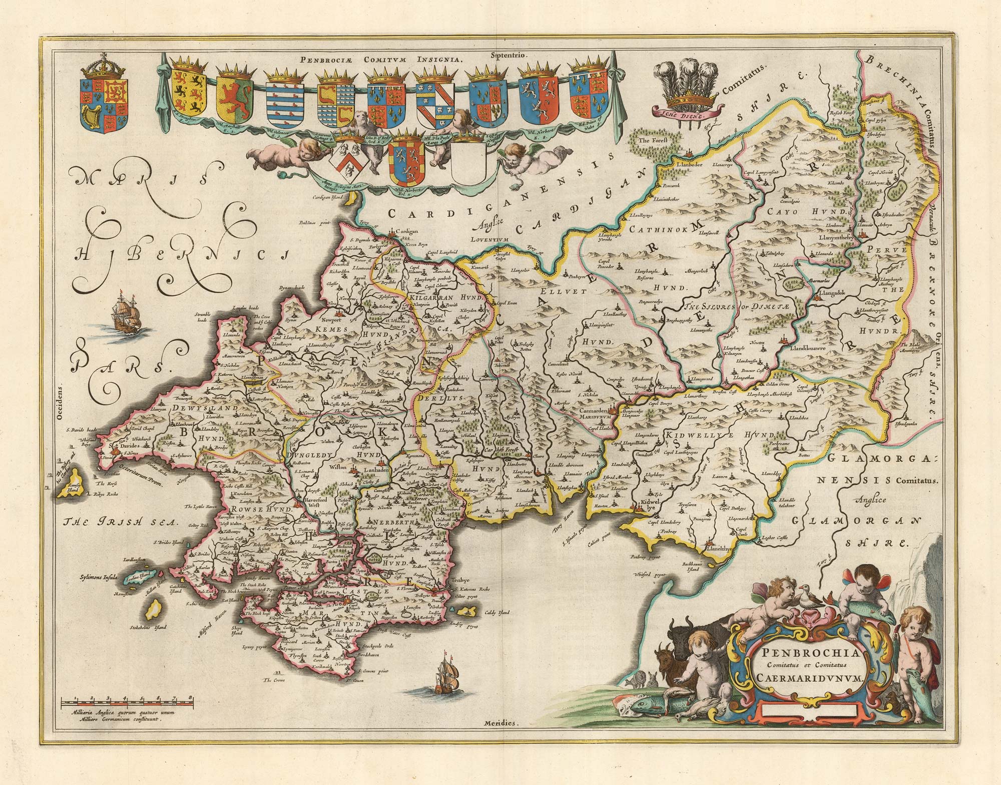
Blaeu's map of Pembrokeshire and Carmarthenshire, with fine colour
BLAEU, Johannes. Date: 1662 Stock #: 23042 £500.00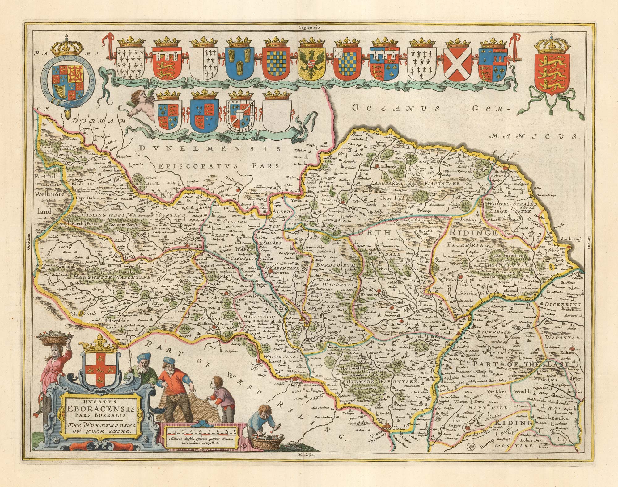
17th century map of the North Riding of Yorkshire in fine colour
BLAEU, Johannes. Date: 1662 Stock #: 23040 £650.00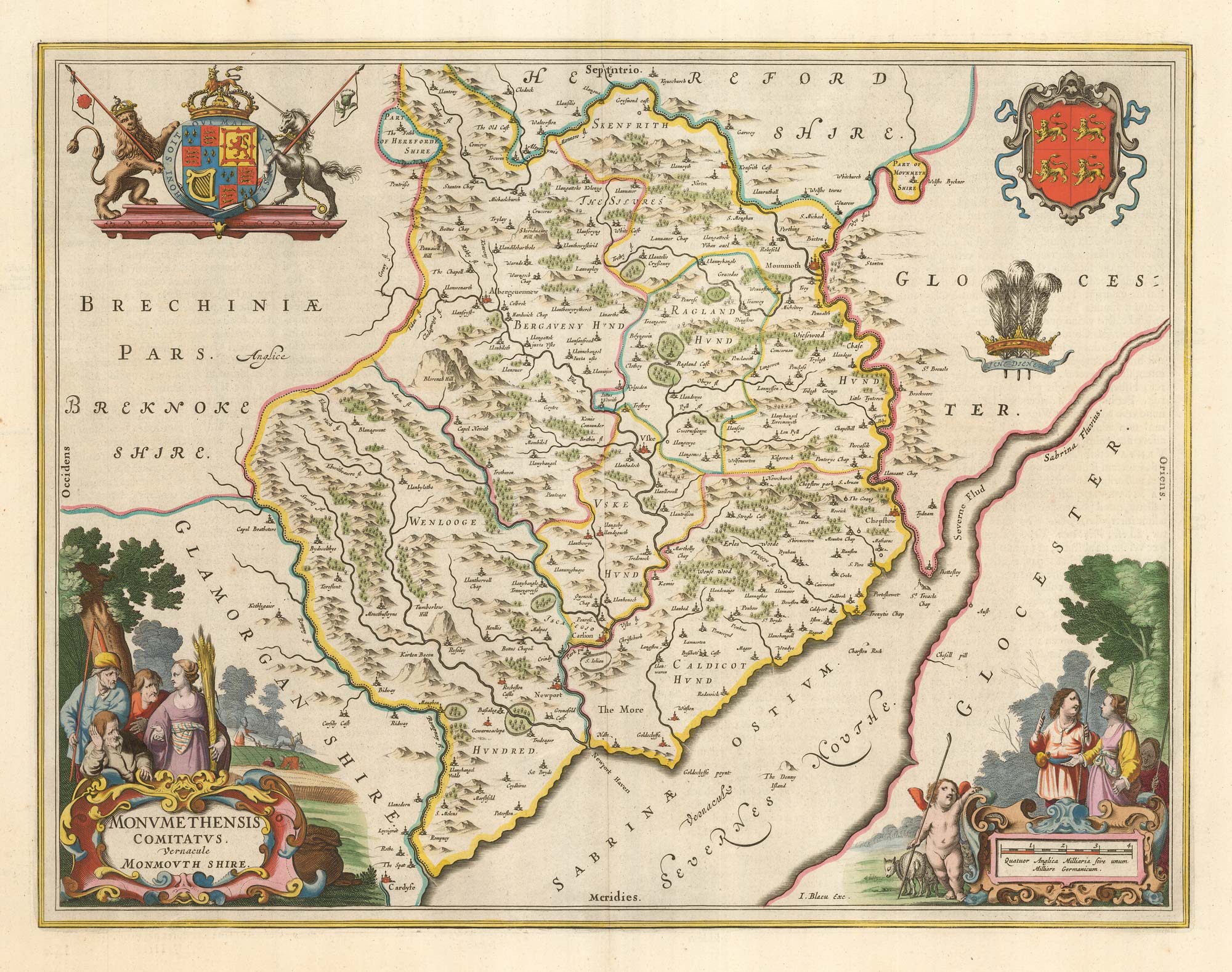
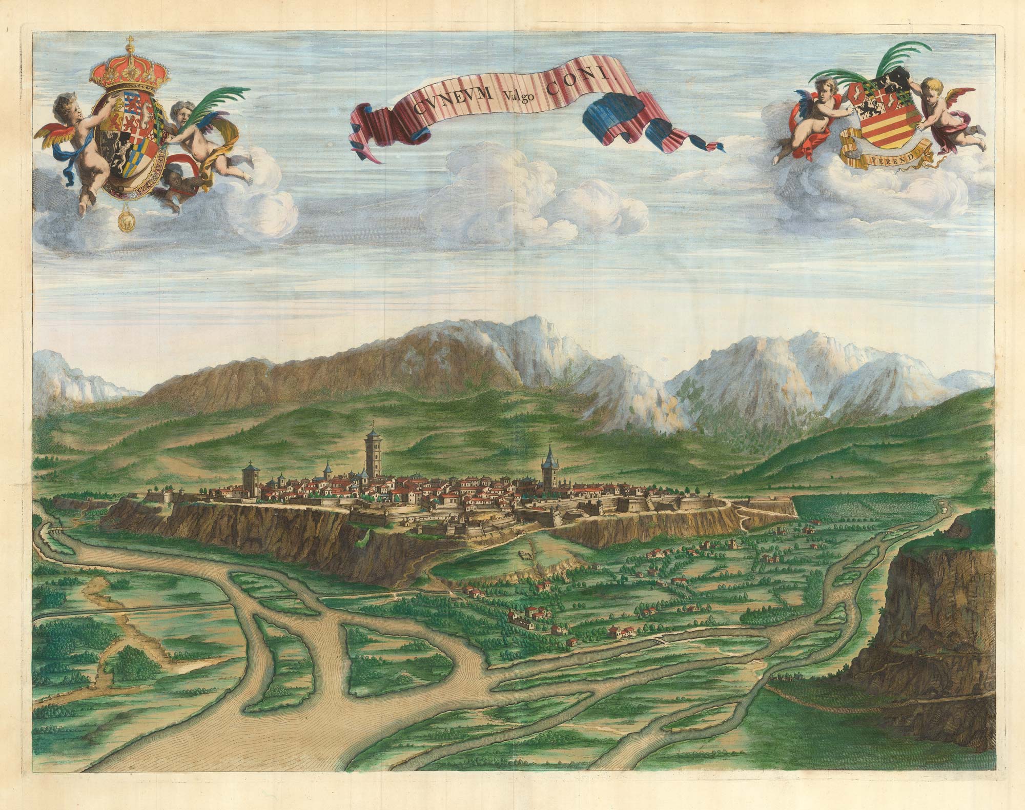
A scarce 17th century prospect of Cuneo in superb colour
BLAEU, Johannes. Date: 1682 Stock #: 23268 £900.00