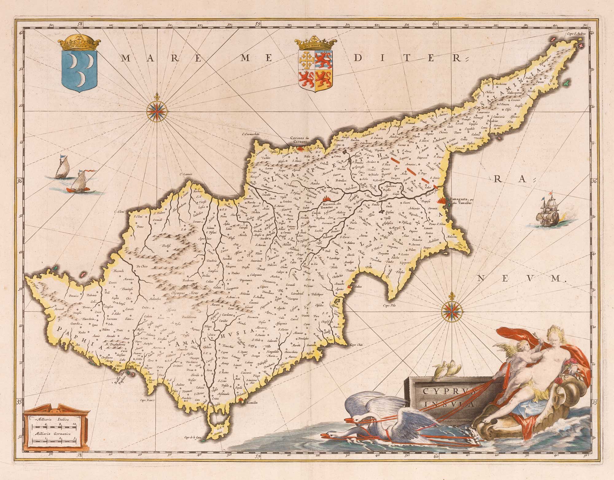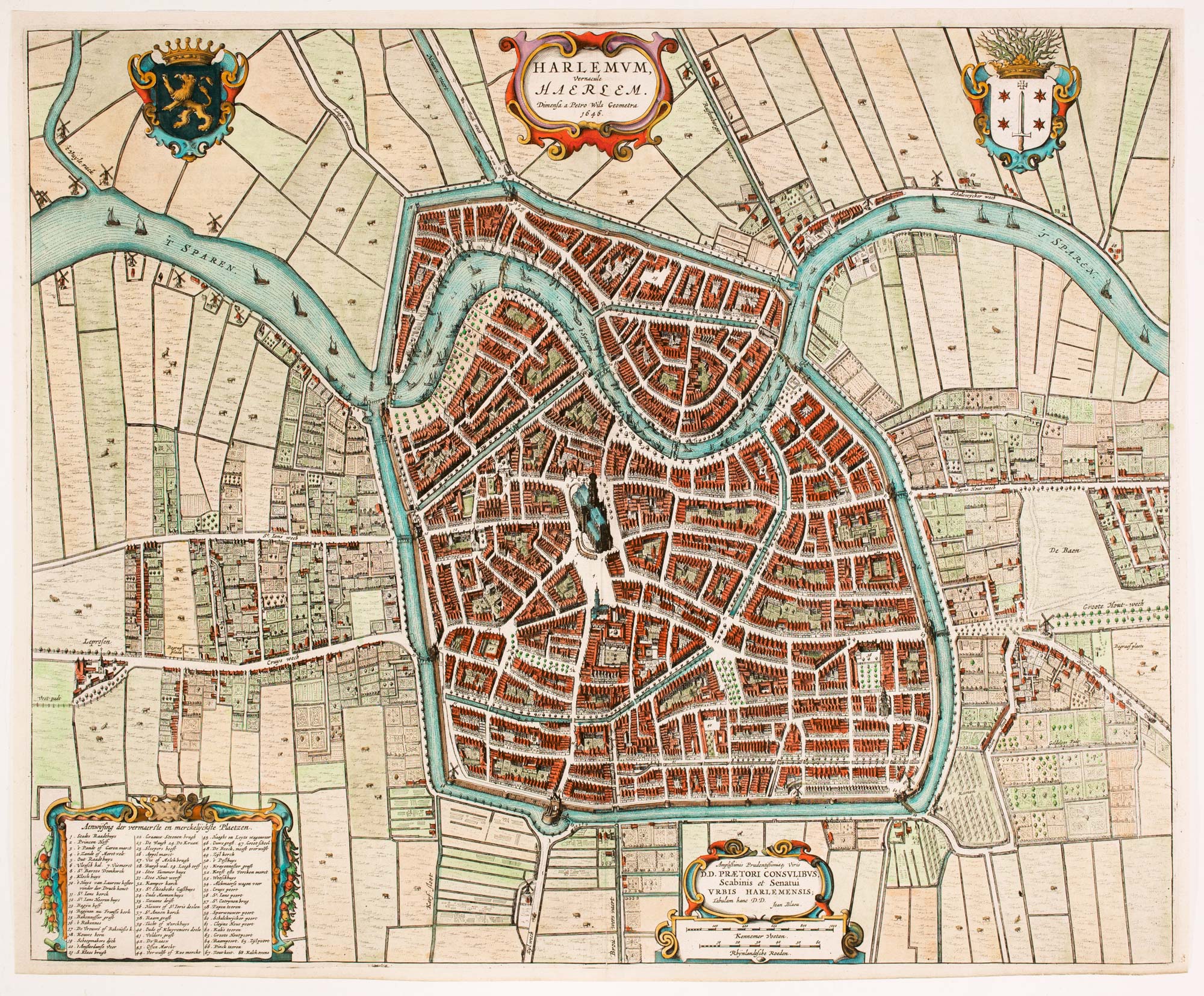


17th century townplan of Haarlem
Harlemum vernacule Haerlem.
Amsterdam, 1649. Coloured. 410 x 535mm.
£750.00
1 in stock
x
Question About This Item?
17th century townplan of Haarlem & BLAEU, Johannes.Stock #: 22683"*" indicates required fields
Similar to Sell?
Add to Wishlist
Add to Wishlist
Description
Detailed plan of Haarlem, from Blaeu's Town Book of the Netherlands.
Condition:
A good example.Related products
-

A 17th century map of the county of Holland from a pocket atlas
JANSSON, Jan. Date: 1630Stock #: 26669 £325.00 -

A rare wall map of the Netherlands
LE ROUGE, Georges-Louis. Date: 1790Stock #: 23570 £3,600.00 -

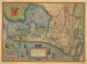
16th century Dutch map of the county of Holland
ORTELIUS, Abraham. Date: 1573Stock #: 26458 £1,100.00 -

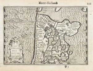
A 16th century miniature map of North Holland
LANGENES, Barent. Date: 1599Stock #: 21160 £70.00 -

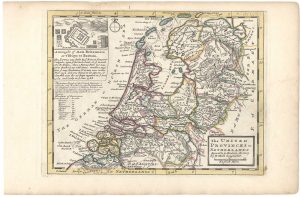
18th century English map of the Netherlands
MOLL, Herman. Date: 1732Stock #: 25872 £180.00 -

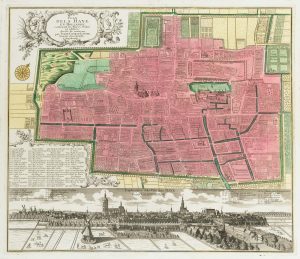
18th century town plan of the Hague
SEUTTER, Matthaus. Date: 1760Stock #: 22693 £1,300.00 -

19th century map of Holland with vignettes
TALLIS, John. Date: 1851Stock #: 21563 £110.00 -

The Netherlands during the Anglo-Dutch War of 1672
DU VAL, Pierre. Date: 1672Stock #: 20503 £900.00 -

A scarce plan of the defences of Maastricht
BEAURAIN, Jean de. Date: 1760Stock #: 20557 £480.00
Items by the same author
Add to Wishlist
Add to Wishlist
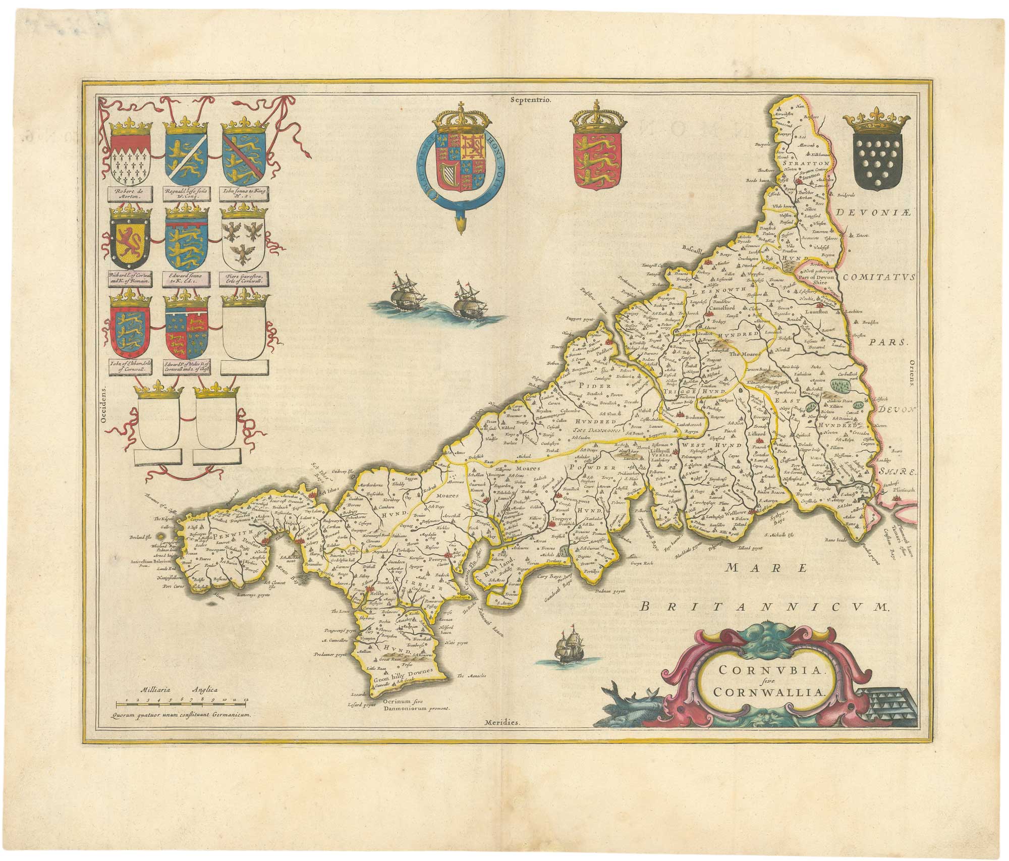
A 17th century map of Cornwall from the Duke of York's Library
BLAEU, Johannes. Date: 1648 Stock #: 26623 £500.00
Add to Wishlist
Add to Wishlist
Add to Wishlist
Add to Wishlist

Add to Wishlist
Add to Wishlist
Add to Wishlist
Add to Wishlist
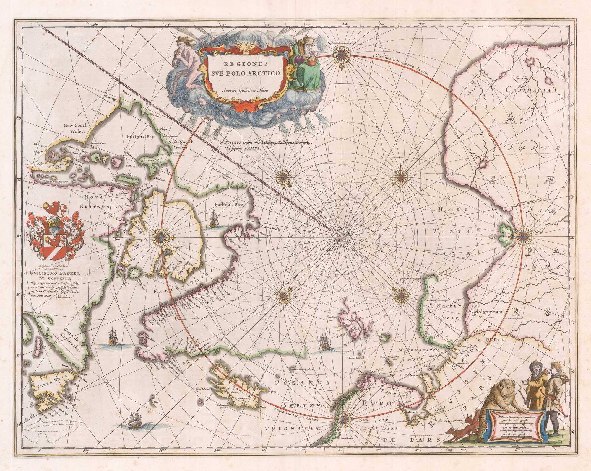
A 17th century map of the early exploration of the Arctic Circle
BLAEU, Johannes. Date: 1649 Stock #: 26364 £1,250.00
Add to Wishlist
Add to Wishlist