

Cook’s landmark map of New Zealand
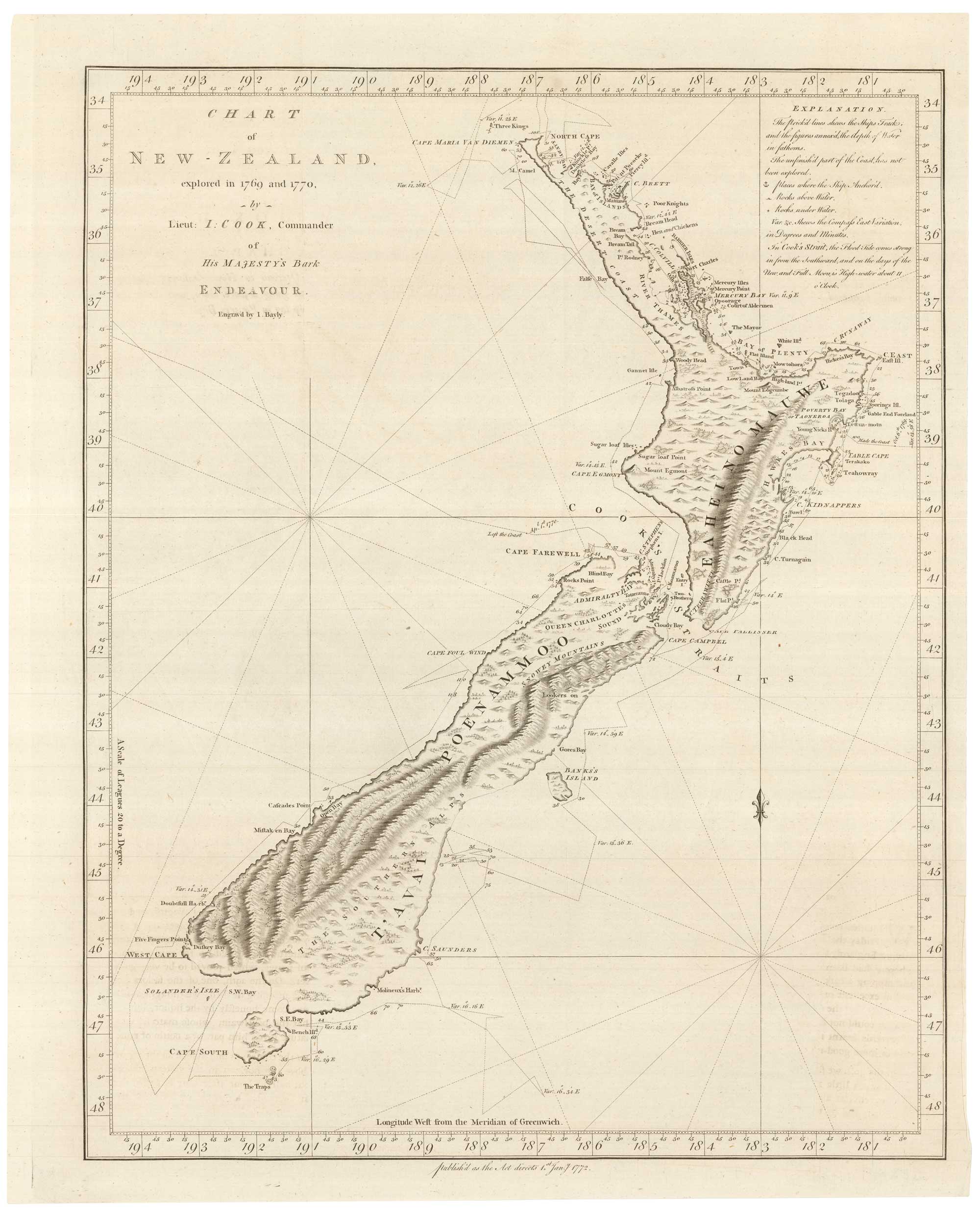
Chart of New-Zealand, explored in 1769 and 1770, by Lieut: I: Cook, Commander of His Majesty's Bark Endeavour. Engraved by I. Bayly.
London: Strachan & Cadell, 1773. 510 x 410mm.
x
Question About This Item?
Cook’s landmark map of New Zealand & COOK, James.Stock #: 25832"*" indicates required fields
Similar to Sell?
Add to Wishlist
Add to Wishlist
Description
The first edition of the first printed map of New Zealand by Captain Cook engraved by I. Bayley for Hawkesworth's 'An Account of the Voyages...for making Discoveries in the Southern Hemisphere', the official account of Cook's first circumnavigation.
Although the first European to discover New Zealand was Abel Tasman in 1642, it was Cook who proved that it was not part of the great 'Terra Australis' or Southern Continent. Arriving at Poverty Bay on 7th October 1769 he took six months to circumnavigate the islands: as he sailed east of the Banks Peninsula he mistook it for an island; skirting south of Stewart Island' he marked on this map as a possible peninsula.
Condition:
A very fine exampleRelated products
-

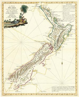
Zatta’s important map showing Cook’s charting of New Zealand
ZATTA, Antonio. Date: 1778Stock #: 24746 £1,600.00 -

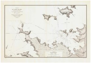
A detailed sea chart of the environs of Manawaora in New Zealand
DUPERREY, Louis-Isidore. Date: 1829Stock #: 23959 £1,200.00 -

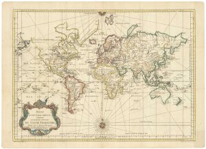
A large sea chart of the World on Mercator’s Projection
BELLIN, Jacques-Nicolas. Date: 1775Stock #: 25116 £1,600.00 -

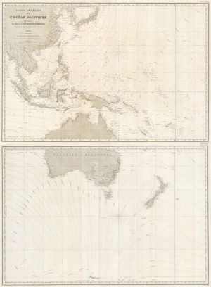
A detailed 19th century chart of the south west Pacific
VINCENDON-DUMOULIN, Clement Adrien. Date: 1874Stock #: 22088 £1,600.00 -

A rare poster map of New Zealand
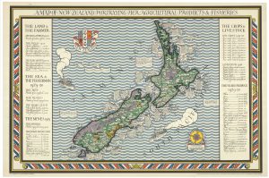
GILL, Leslie MacDonald. Date: 1931Stock #: 25190 £10,000.00 -
![[Untitled globe gore featuring Abel Tasman's mapping of New Zealand] by CORONELLI, Vincenzo Maria., 1693.](data:image/svg+xml,%3Csvg%20xmlns='http://www.w3.org/2000/svg'%20viewBox='0%200%20300%20420'%3E%3C/svg%3E)
The New Zealand gore from Coronelli’s 42 inch globe
CORONELLI, Vincenzo Maria. Date: 1693Stock #: 23716 £2,200.00 -

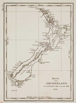
A German edition of Dumont d’Urville’s map of New Zealand
DUMONT D'URVILLE, Jules Sébastian César. Date: 1836Stock #: 17209 £285.00 -

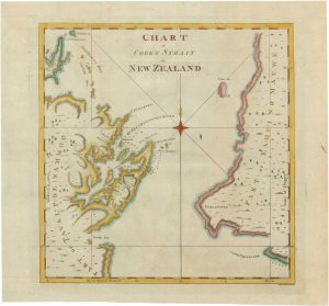
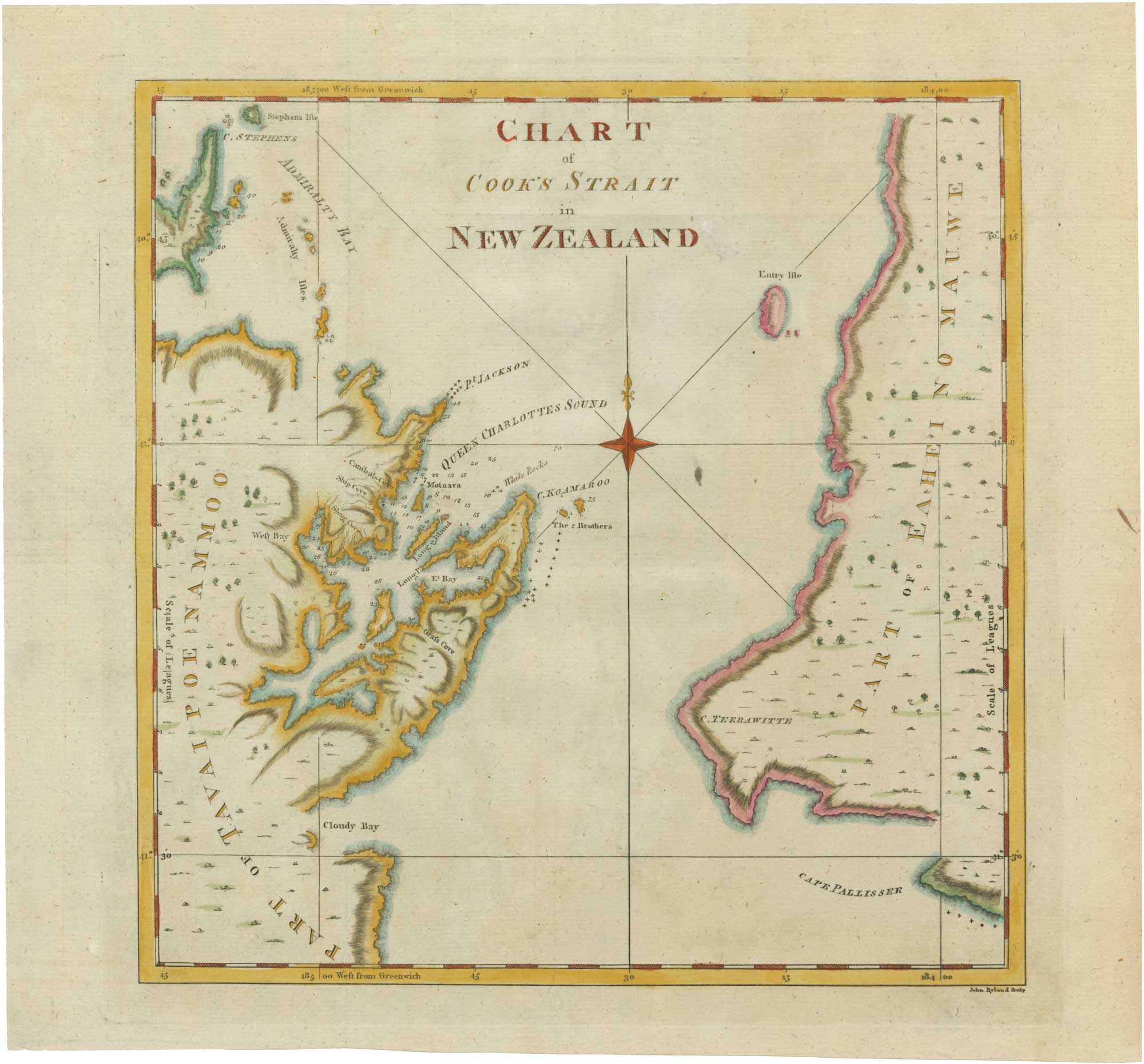
18th century chart of Cook’s strait in New Zealand
COOK, James. Date: 1773Stock #: 26038 £500.00 -

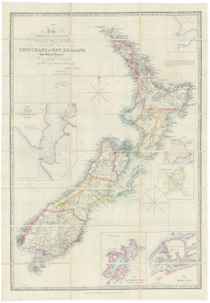
Large and detailed 19th century map of New Zealand
WYLD, James. Date: 1890Stock #: 22024 £1,800.00
![[Untitled globe gore featuring Abel Tasman's mapping of New Zealand] by CORONELLI, Vincenzo Maria., 1693.](https://altea-gallery-cdn.s3.eu-west-2.amazonaws.com/wp-content/uploads/2025/05/17104515/alteashop_23716-300x420.jpg)
Items by the same author
Add to Wishlist
Add to Wishlist
Add to Wishlist
Add to Wishlist
Add to Wishlist
Add to Wishlist
Add to Wishlist
Add to Wishlist
Add to Wishlist
Add to Wishlist
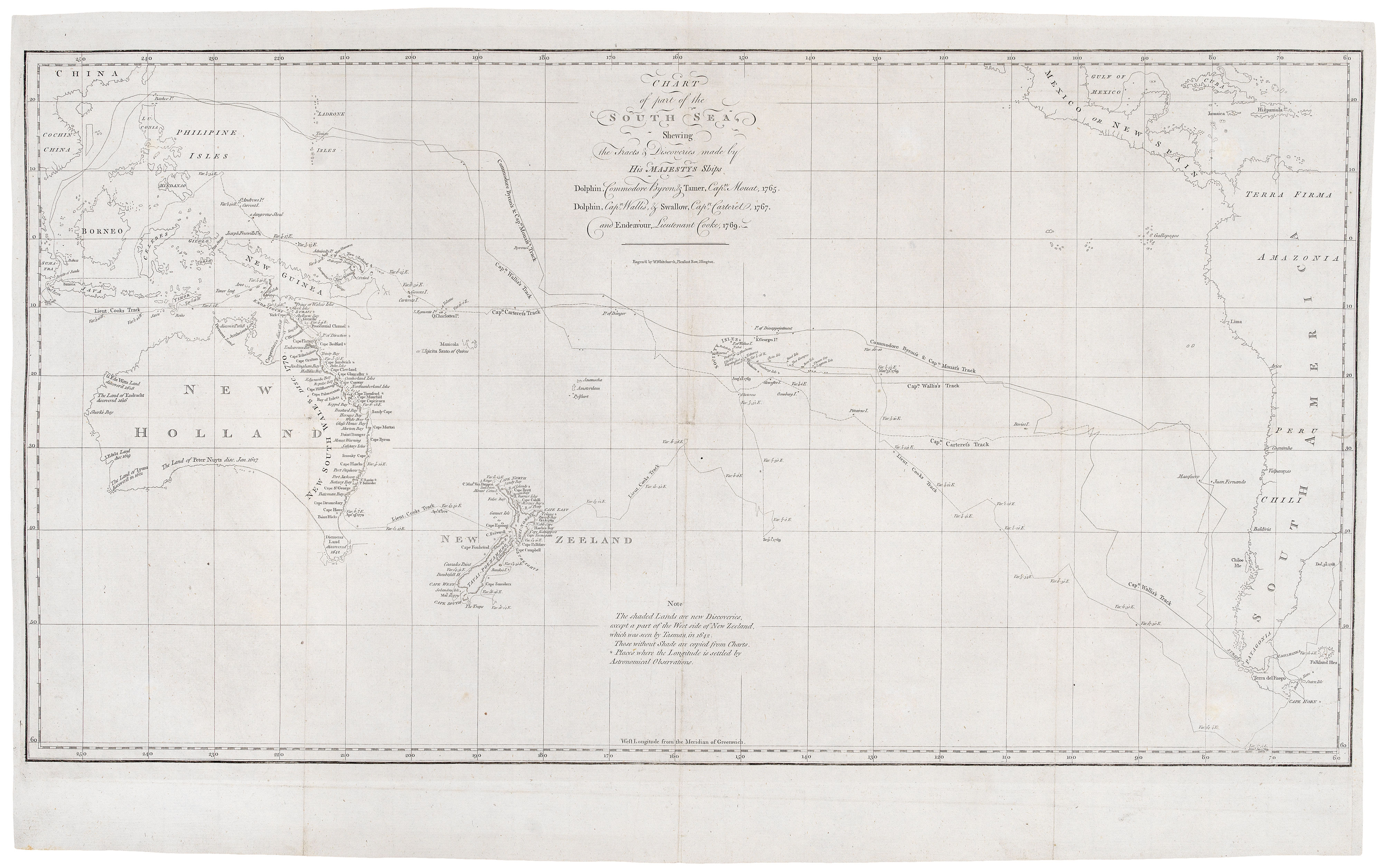
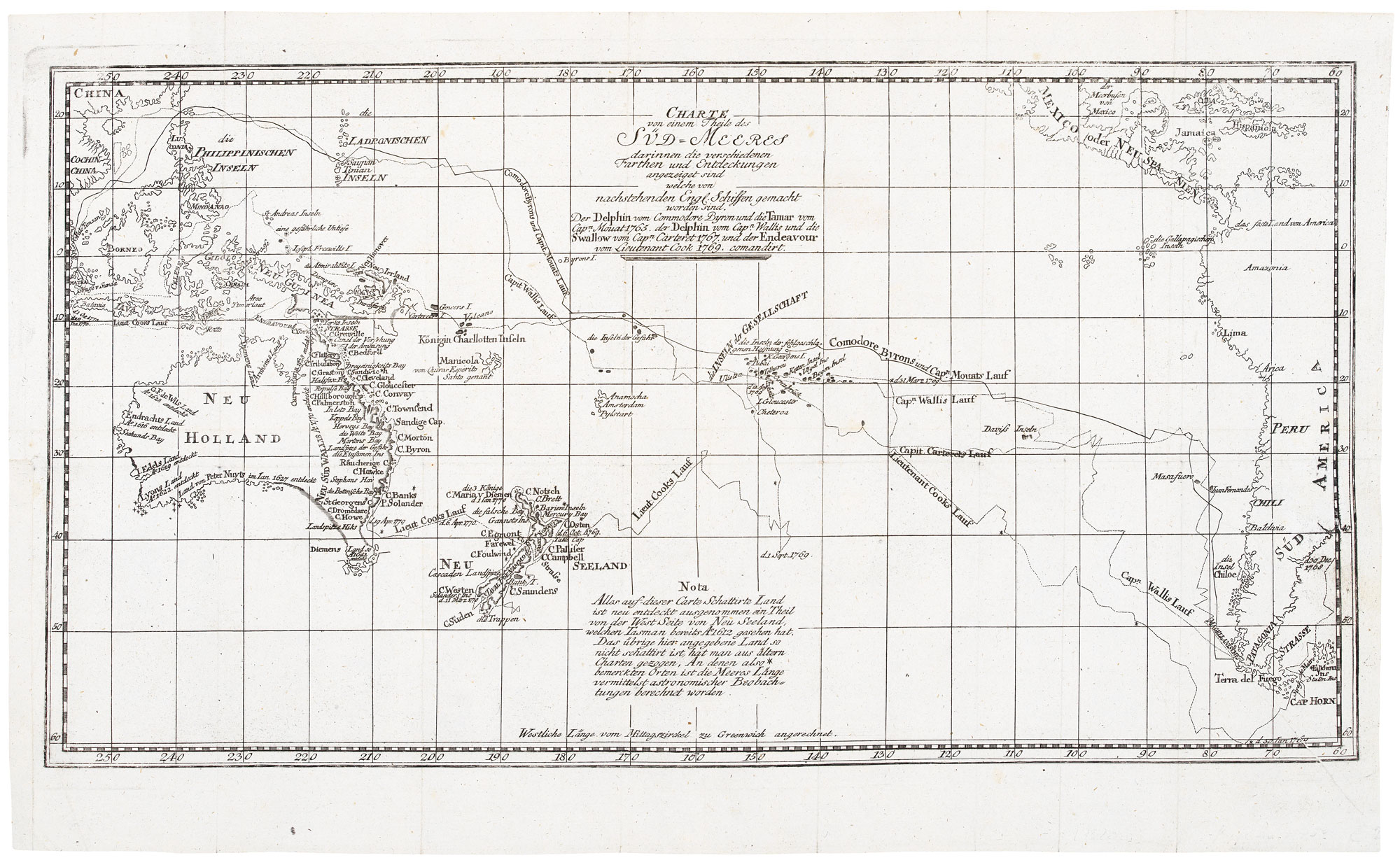
Cook's chart of the South Pacific from his First Voyage
COOK, James. Date: 1773 Stock #: 20839 £1,400.00
Add to Wishlist
Add to Wishlist