
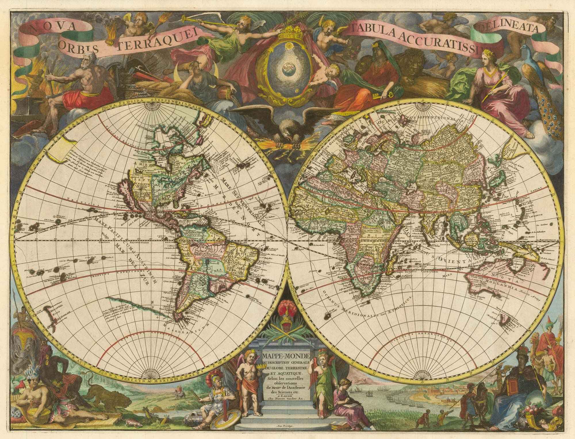


Van der Aa’s scarce large-format double-hemisphere world
Nova Orbis Terraquei Tabula Accuratissime Delineata.
Leiden, 1713. Coloured. 505 x 665mm.
x
Question About This Item?
Van der Aa’s scarce large-format double-hemisphere world & AA, Pieter van der.Stock #: 21855"*" indicates required fields
Similar to Sell?
Add to Wishlist
Add to Wishlist
Description
A large-format world map, with superb pictorial borders featuring allegorical figures of the Continents and the Elements. California is shown as an island; Australia and New Zealand only have partial outlines; and cartographical errors include Frobisher's Straits in Greenland, a line of islands in the south east Pacific, and Jesso and Campanies Land to the north of Japan.
Condition:
Split at top and bottom centerfold repaired on verso, otherwise a very fine example.Related products
-
![Primo volume, & Terza editione Delle Navigationi et Viaggi... [&] by RAMUSIO, Giovanni Battista., 1583.](data:image/svg+xml,%3Csvg%20xmlns='http://www.w3.org/2000/svg'%20viewBox='0%200%20300%20213'%3E%3C/svg%3E)
Ramusio’s important 16th century compilation of travels and voyages
RAMUSIO, Giovanni Battista. Date: 1583Stock #: 24633 £32,500.00 -

A scarce 18th century double-hemisphere world map
BOURGOIN, Pierre. Date: 1766Stock #: 22916 £1,200.00 -

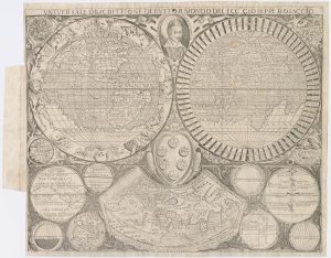
A scarce world map after Giuseppe Rosaccio
ROSACCIO, Alovisio. Date: 1610Stock #: 22849 £3,250.00 -

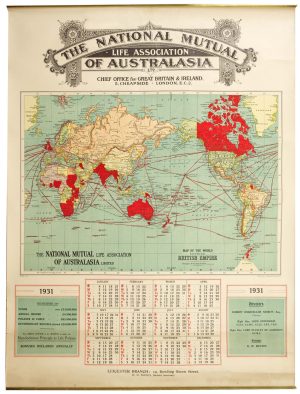
A map of the British Empire for an Australian insurance company
BACON, George Washington. Date: 1931Stock #: 26351 £650.00 -

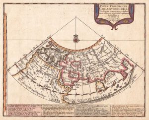
An uncommon Ptolemaic world map
BERTIUS, Petrus. Date: 1696Stock #: 21189 £300.00 -
![[World] Mappa A. Mappa B. by LAS CASAS, Emmanuel., 1832.](data:image/svg+xml,%3Csvg%20xmlns='http://www.w3.org/2000/svg'%20viewBox='0%200%20300%20116'%3E%3C/svg%3E)
A double-hemisphere map of the world on two sheets
LAS CASAS, Emmanuel. Date: 1832Stock #: 21709 £450.00 -

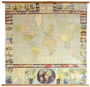
A 1950s pictorial world map
JOHNSTON, A.K. Date: 1962Stock #: 25067 £1,250.00 -

A graphic map of the world’s tropical diseases
ARTZYBASHEFF, Boris. Date: 1944Stock #: 22553 £500.00 -

Decorative 18th century double hemisphere world map
LOTTER, Tobias Conrad. Date: 1775Stock #: 26204 £1,900.00
![Primo volume, & Terza editione Delle Navigationi et Viaggi... [&] by RAMUSIO, Giovanni Battista., 1583.](https://altea-gallery-cdn.s3.eu-west-2.amazonaws.com/wp-content/uploads/2025/06/05142630/alteashop_24633-300x213.jpg)
![[World] Mappa A. Mappa B. by LAS CASAS, Emmanuel., 1832.](https://altea-gallery-cdn.s3.eu-west-2.amazonaws.com/wp-content/uploads/2025/05/10125936/alteashop_21709-300x116.jpg)
Items by the same author
Add to Wishlist
Add to Wishlist
Add to Wishlist
Add to Wishlist
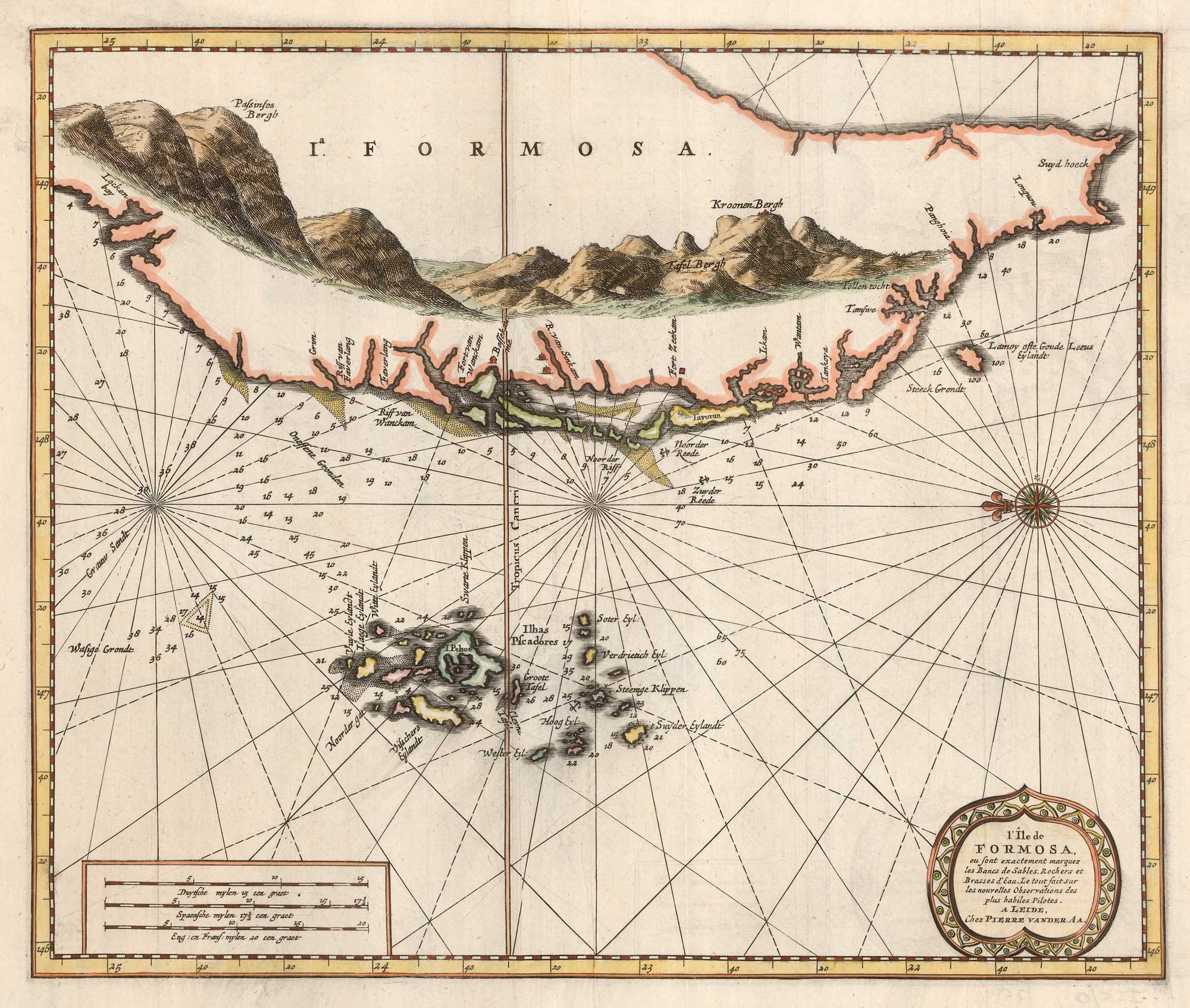
Scarce sea chart of Taiwan and the Pescadores
AA, Pieter van der. Date: 1713 Stock #: 25894 £1,250.00
Add to Wishlist
Add to Wishlist
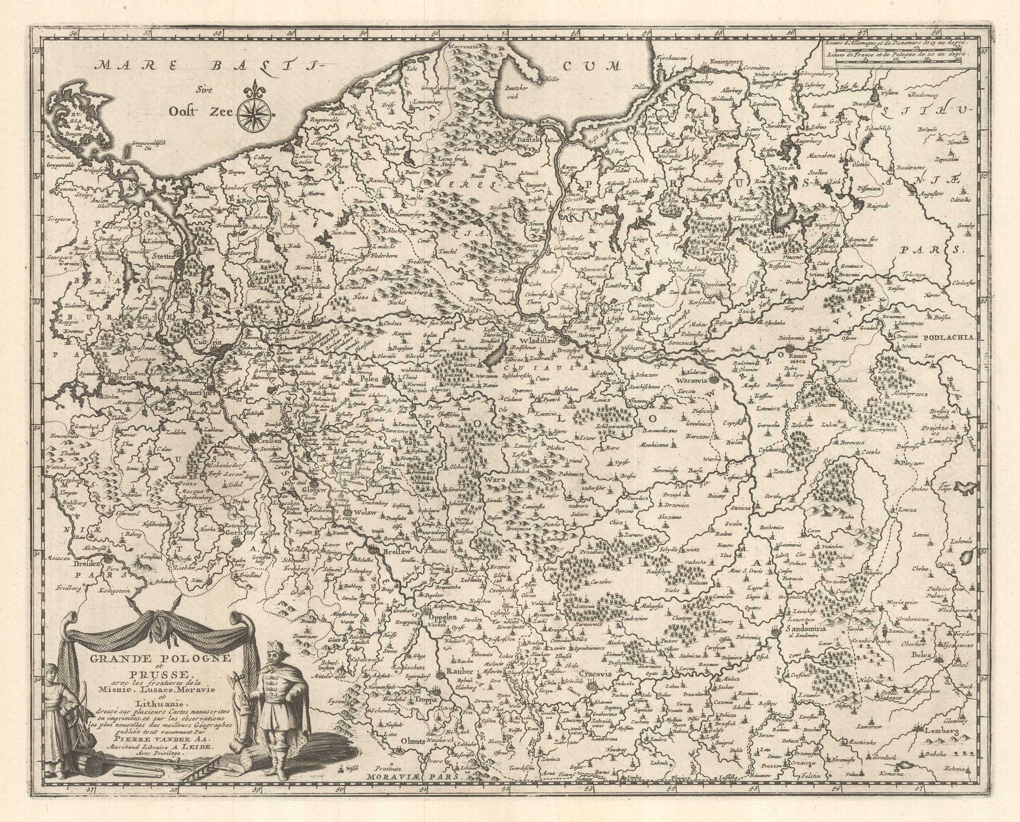
Add to Wishlist
Add to Wishlist
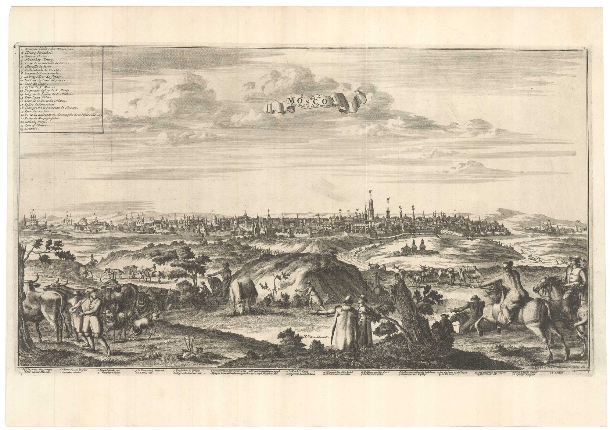
Add to Wishlist
Add to Wishlist
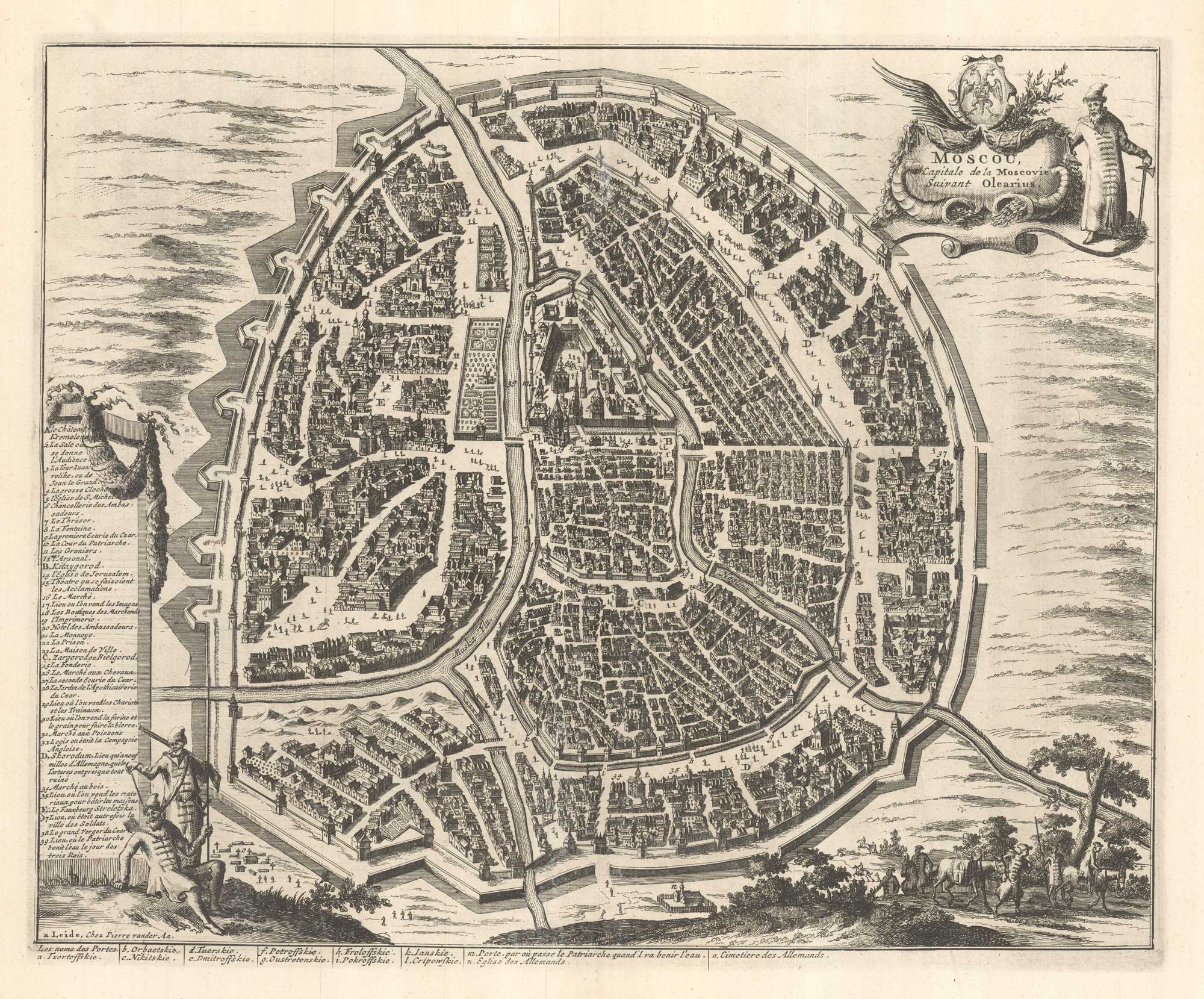
Add to Wishlist
Add to Wishlist
