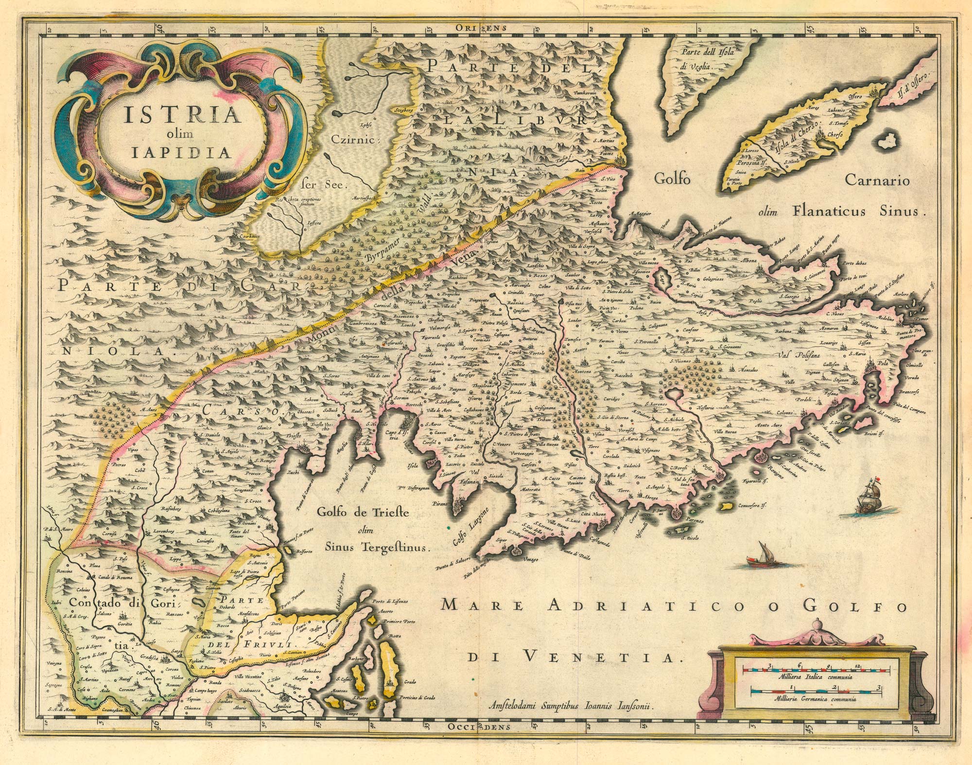


17th century map of Istria
Istria olim Lapidia.
Amsterdam, 1638, Latin text edition. Original colour. 365 x 500mm.
x
Question About This Item?
17th century map of Istria & BLAEU, Johannes.Stock #: 24791"*" indicates required fields
Similar to Sell?
Add to Wishlist
Add to Wishlist
Description
A detailed map of Istria, orientated with north to the left. A fine example
Condition:
A good example.References:
VAN DER KROGT: 1:401.Related products
-

16th century woodblock map of Slovenia and Croatia
MUNSTER, Sebastian. Date: 1572Stock #: 24581 £375.00 -

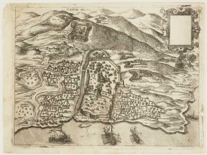
Scarce 16th century Venetian map of Herceg Novi, Montenegro
CAMOCIO, Giovanni Francesco. Date: 1575Stock #: 13489 £300.00 -

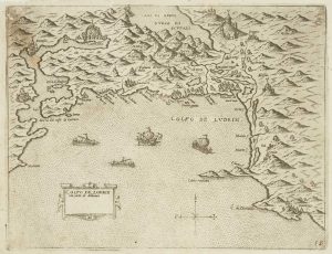
Scarce 16th century Venetian map of the coast of Montenegro
CAMOCIO, Giovanni Francesco. Date: 1575Stock #: 13468 £500.00 -

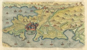
A miniature map of the environs of Split in the 18th century
ROSACCIO, Giuseppe. Date: 1713Stock #: 25917 £220.00 -

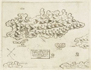
Scarce 16th century Venetian map of Hvar in Croatia
CAMOCIO, Giovanni Francesco. Date: 1572Stock #: 13482 £450.00 -

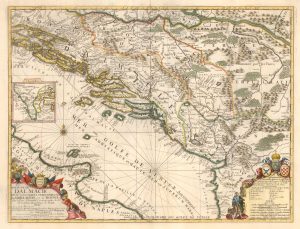
Scarce Nolin issue of Coronelli’s map of the Balkan coastline
CORONELLI, Vincenzo Maria. Date: 1689Stock #: 25864 £900.00 -

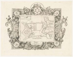
The Venetian fort of Zadar in Croatia
CORONELLI, Vincenzo Maria. Date: 1700Stock #: 23365 £350.00 -

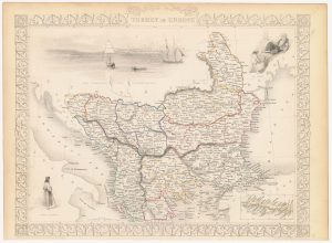
Mid 19th century map of the Ottoman Dominions in Europe with vignettes
TALLIS, John. Date: 1851Stock #: 23480 £140.00 -
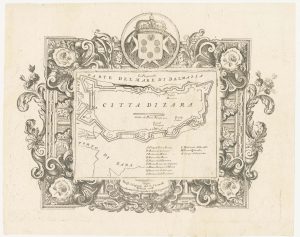
The Venetian city of Zadar in Croatia
CORONELLI, Vincenzo Maria. Date: 1700Stock #: 23367 £350.00
Items by the same author
Add to Wishlist
Add to Wishlist
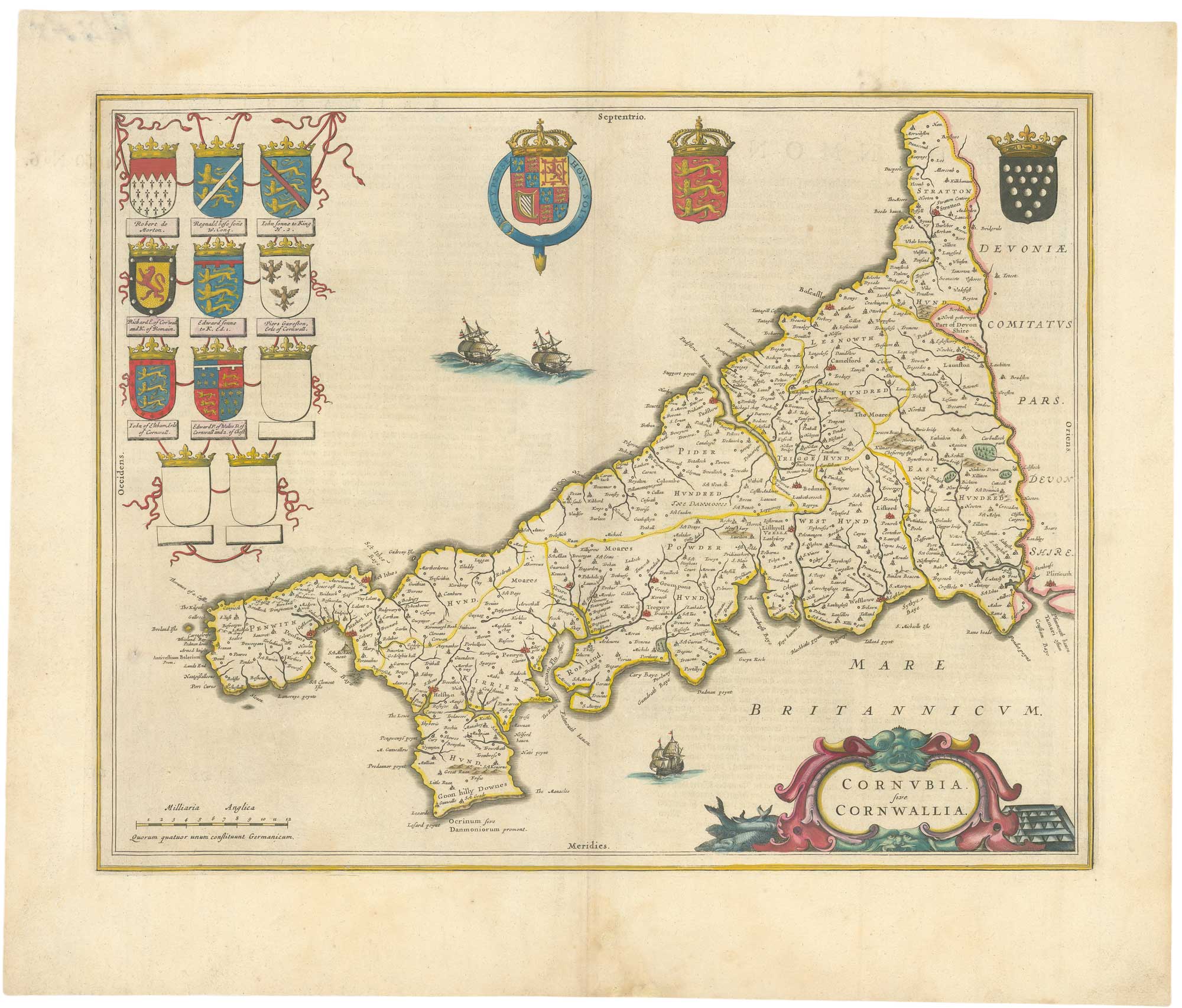
A 17th century map of Cornwall from the Duke of York's Library
BLAEU, Johannes. Date: 1648 Stock #: 26623 £500.00
Add to Wishlist
Add to Wishlist
Add to Wishlist
Add to Wishlist

Add to Wishlist
Add to Wishlist
Add to Wishlist
Add to Wishlist
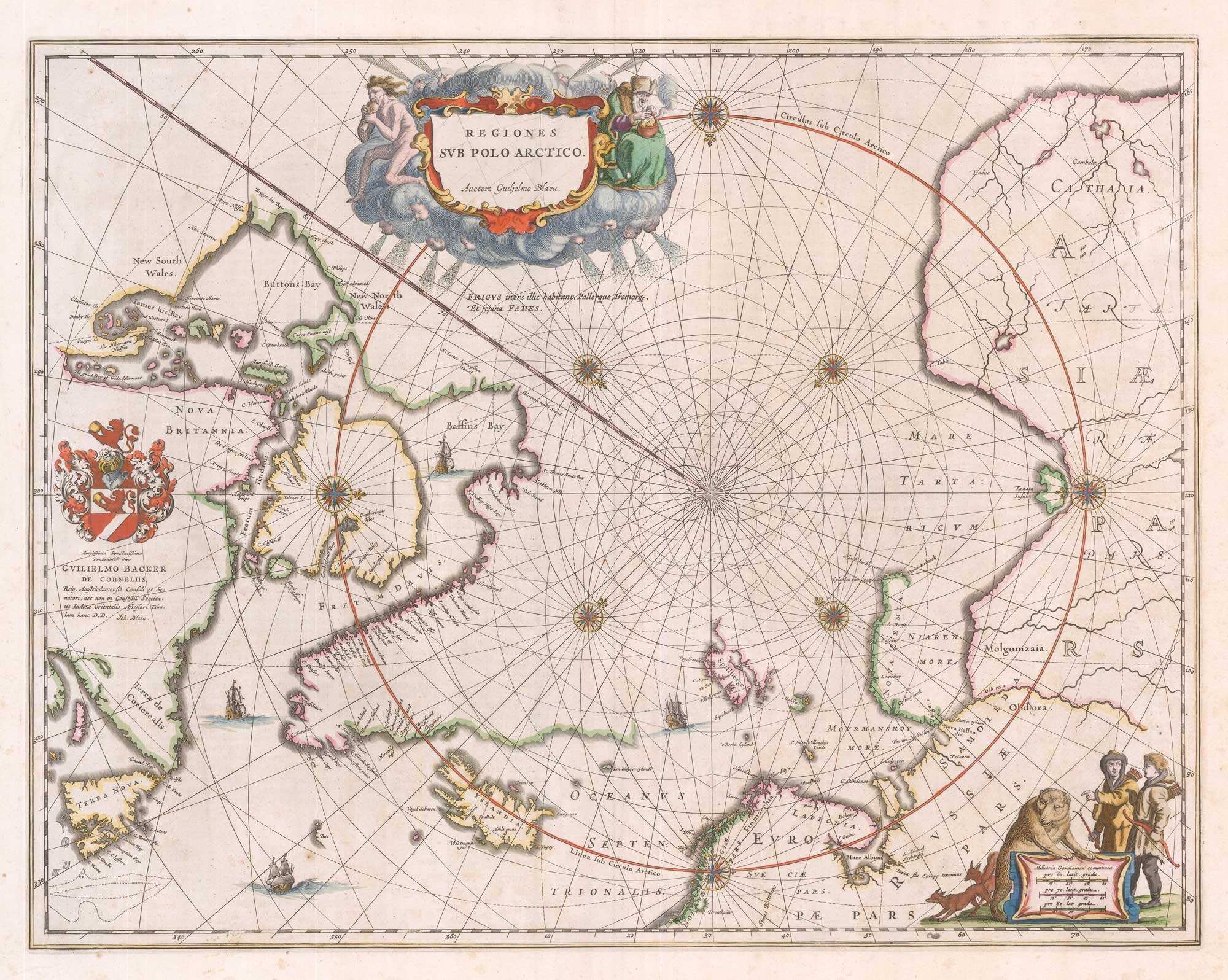
A 17th century map of the early exploration of the Arctic Circle
BLAEU, Johannes. Date: 1649 Stock #: 26364 £1,250.00
Add to Wishlist
Add to Wishlist